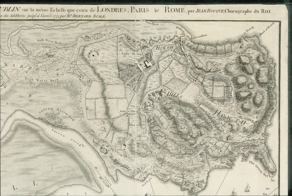
Plan de la Ville, Havre, & Environs de Dublin sur la meme Echelle que ceux de Londres, Paris, & Rome, par Jean Rocque, Chorographe du Roi avec des additions jusqu'a l'annee 1773 / par Mn. Bernard Scale
is licensed under a Creative Commons Attribution-NonCommercial-ShareAlike 4.0 International License.
To use for commercial purposes, please contact the UCD Digital Library See: http://digital.ucd.ie/terms/
Digital rights: © University College Dublin, National University of Ireland, Dublin. Copyright and reproduction rights for this digital resource are held by University College Dublin and administered by UCD Library Special Collections, UCD James Joyce Library, Belfield, Dublin 4, Ireland.