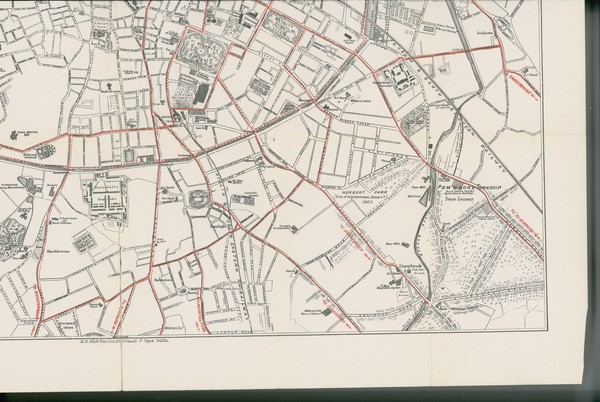
M. H. Gill & Son's Large Scale Map of the City of Dublin and its Environs. Tram Routes shown in Red
is licensed under a Creative Commons Attribution-NonCommercial-ShareAlike 4.0 International License.
To use for commercial purposes, please contact the UCD Digital Library See: http://digital.ucd.ie/terms/
Digital rights: © University College Dublin, National University of Ireland, Dublin. Copyright and reproduction rights for this digital resource are held by University College Dublin and administered by UCD Library Special Collections, UCD James Joyce Library, Belfield, Dublin 4, Ireland.