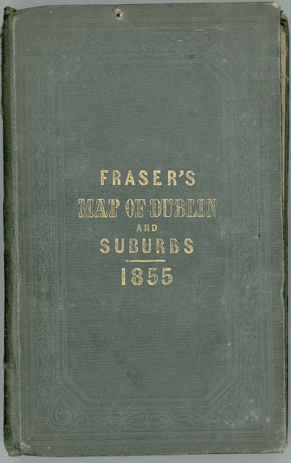
Fraser's Map of Dublin & its Suburbs. Reduced From the Ordnance Survey with Additions to 1855.
is licensed under a Creative Commons Attribution-NonCommercial-ShareAlike 4.0 International License.
To use for commercial purposes, please contact the UCD Digital Library See: http://digital.ucd.ie/terms/
Digital content © University College Dublin