Abstract: Representative selection of preliminary photographic site survey of Port Oriel Harbour.
In collection Port Oriel Harbour, County Louth (Minor Harbours of Ireland)

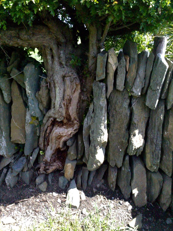
Port Oriel Harbour photographic survey May 21, 2016
is licensed under a Creative Commons Attribution-NonCommercial-NoDerivatives 4.0 International License.
Copyright of the original resource: University College Dublin; and Elizabeth Shotton
To use for commercial purposes, please contact the UCD Digital Library See: https://digital.ucd.ie/terms/